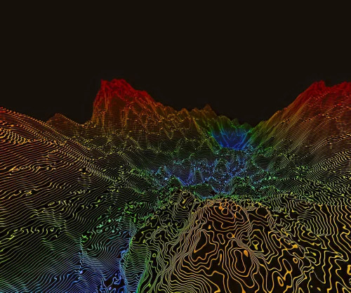
DTM Digital Terrain Modelling Service

DTM Digital Terrain Modelling Service

MOQ : 1 Unit

DTM Digital Terrain Modelling Service Specification

  • Deliverables
  • Digital Model Files, 2D/3D Renderings, Contour Maps, Reports
  • Coverage Area
  • Customizable as per project requirements
  • Accuracy
  • High spatial resolution, centimeter to sub-meter accuracy depending on source data
  • Service Type
  • Digital Terrain Modelling (DTM)
  • Data Output Format
  • Point Clouds, Triangular Irregular Network (TIN), Contour Maps, Raster Data
  • Turnaround Time
  • Project-specific: typically ranges from days to weeks
  • Data Collection Methods
  • UAV/Drone Survey, Satellite Imagery, Aerial Photography
  • Technology Used
  • Remote Sensing, GIS, Photogrammetry, LIDAR
  • Intended Users
  • Civil Engineers, Surveyors, Urban Planners, Environmental Scientists
  • Application
  • Topographical Analysis, Land Surface Modelling, Engineering Projects, GIS Mapping
  • Support Services
  • Data Analysis, Custom Visualization, Post-Processing Consultation
  • Processing Software
  • Industry-standard GIS and Remote Sensing software
 

DTM Digital Terrain Modelling Service Trade Information

  • Minimum Order Quantity
  • 1 Unit
  • Payment Terms
  • Cash in Advance (CID)
  • Supply Ability
  • 100 Units Per Month
  • Delivery Time
  • 2-5 Days
  • Main Domestic Market
  • All India


Back to top