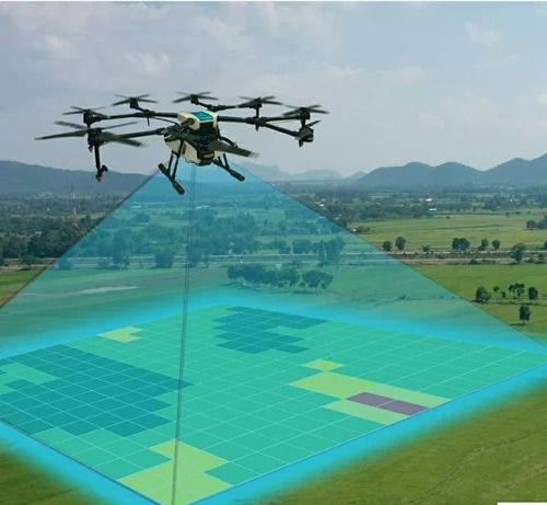
DGPS Ground Survey Service

DGPS Ground Survey Service

MOQ : 1 Unit

DGPS Ground Survey Service Specification

  • Service Mode
  • Onsite
  • Availability
  • Pan India
  • Equipment Used
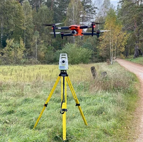
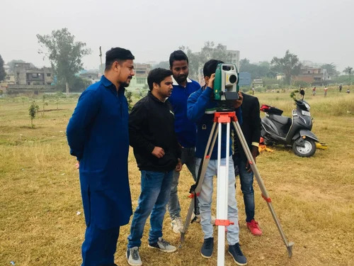
  • Total Station, DGPS Receiver, Drone
  • Supported Coordinate Systems
  • WGS84, UTM, Local Grid
  • Application Area
  • Roads, Railways, Infrastructure Projects, Agriculture Fields
  • Reporting Time
  • Within 3-7 Working Days after Survey
  • Technology
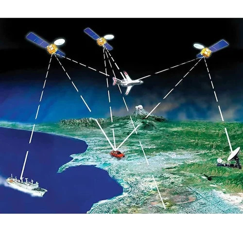
  • Differential Global Positioning System (DGPS)
  • Post Processing Included
  • Yes
  • Compliance Standard
  • Survey of India Standards, ASTM, ISO
  • Service Duration
  • Project-Based, As Per Requirement
  • Service Type
  • DGPS Ground Survey Service
  • Data Delivery Format
  • AutoCAD, Excel, Shapefiles, PDF
  • Coverage Area
  • Customizable as per Project Requirements
  • Other Equipment Support
  • Drone Photogrammetry, GIS Tools
  • Survey Methodology
  • Static, Kinematic and Real-Time Kinematic (RTK)
  • Survey Accuracy
  • Up to Centimeter Level
  • Data Output
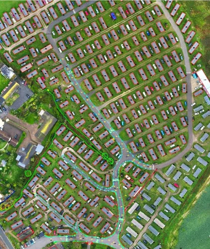
  • GIS Maps, Survey Reports, Digital Elevation Models (DEM)
  • Field Crew Provided
  • Yes
  • Usage
  • Land Survey, Topographic Survey, Construction, Civil Engineering
 

DGPS Ground Survey Service Trade Information

  • Minimum Order Quantity
  • 1 Unit
  • Payment Terms
  • Cash in Advance (CID)
  • Supply Ability
  • 50 Units Per Month
  • Delivery Time
  • 2-5 Days
  • Main Domestic Market
  • All India
 

More Products in Survey Services Category


Back to top